General description
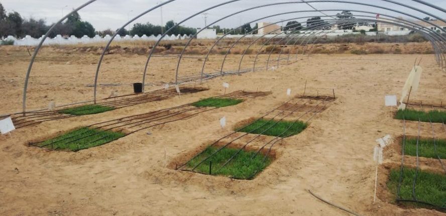
The governorate of Medenine is located in the south-east of Tunisia, and is structured into 9 delegations. It is bounded by the governorate of Gabès and the Mediterranean Sea to the north, by the governorate of Tataouine to the south, the governorate of Kebili to the west and the Lybien state to the east. It covers 5,500 ha for 71,406 inhabitants. The experimental fields are not located in an oasis ecosystem.
Climatic context
The climate is influenced by the Sahara to the west and the Gulf of Boughrara to the northeast. The climate is considered arid and arid Saharan. Rainfall is scarce throughout the year and the temperature is very high.
Geological context
The region is delimited, from east to west, by the plain of Djeffara, the mountain range of Matmatas and Dahar. It is characterized by the dominance of layers of secondary, tertiary and quaternary ages which outcrop at the surface. All these formations are dominated by a limestone, marl-limestone and gypsum facies. The presence of limestone and gypsum strongly influences the soils of the region.
Edaphic context
The salinity of soils in Medenine is increasing due to intense evaporation and the use of medium and high salinity water for irrigation. Climatic factors and the alteration of geological formations rich in sodium (Na +), magnesium (Mg2 +), calcium (Ca2 +) are also the causes of soil salinity in arid regions. In this context and without other alternatives, the soils are more and more salty and the vegetation cover, in particular the glycophytes, decreases. Indeed, this degradation leads to a decrease in plant production caused by the decline in soil fertility (Sbei et al., 2012). Consequently, the economic and ecological values of these soils decrease. This is why it is necessary to restore the soil of Medenine in order to improve soil fertility using sustainable agriculture.
Soil salinity is a major problem facing the arid areas of North Africa. This is one of the reasons why this site was selected for the ISFERALDA project.

